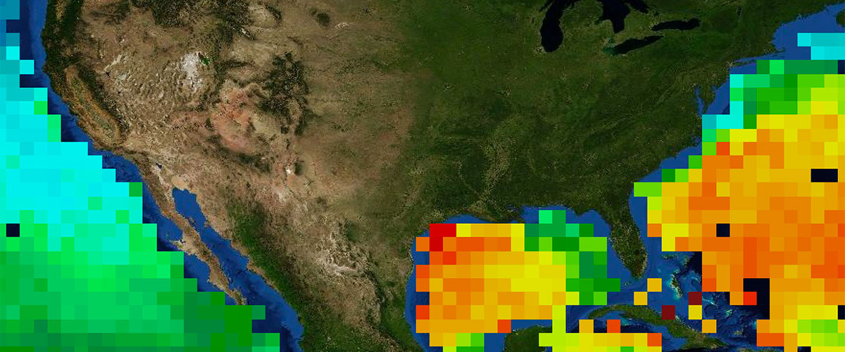
May 2011 was a record-breaking flood year in the central United States. Widespread flooding was attributed to excessive precipitation from major storm systems in combination with extensive snowmelt. The combination of the two caused the Mississippi River and many of its tributaries to swell to record levels, devastating the states of Illinois, Missouri, Tennessee, Arkansas, Mississippi, and Louisiana and their inhabitants. The Mississippi River is the largest river in North America, draining ~41% of the contiguous United States. More than half of the freshwater input into the Gulf of Mexico (GoM) comes from the Mississippi River, and has implications to the general ocean circulation and ecology of the GoM.
Aquarius data began in late August 2011 and captured part of this discharge event in the GoM. Aquarius observed low SSS values (< 34 psu) in the northeastern GoM from August-September 2011 (3-4 months after peak discharge), with peak freshening and maximum intrusion in the open GoM in August 2011. By October 2011 (5 months after peak discharge), the effect of the discharge was no longer visible in the Aquarius data.