Search Type
Website
Data
Search
IMPORTANT UPDATE
: We are in the process of migrating this PO.DAAC website into
Earthdata
. Thank you for your patience as we make this transition.
Read about the Web Unification Project
.
Jet Propulsion Laboratory
California Institute of Technology
PO.DAAC
Follow Us
Navigation
Search Type
Website
Data
Search
Home
Find Data
Science Disciplines
Ocean
Cryosphere
Terrestrial Hydrosphere
Measurements
Glaciers/Ice Sheets
Gravity/Gravitational Field
Ocean Circulation
Ocean Heat Budget
Ocean Surface Topography
Ocean Temperature
Ocean Waves
Ocean Winds
Salinity/Density
Sea Ice
Surface Water
Missions
ADEOS-II
AQUA
AQUARIUS/SAC-D
CCMP
COWVR-TEMPEST
CYGNSS
ECCO
GEOS-3
GHRSST
GRACE
GRACE-FO
ISS-RAPIDSCAT
JASON 1
JASON 3
MEASURES-MUR
MEASURES-OSVW
MEASURES-PRE-SWOT
NASA-SSH
NSCAT
OMG
OPERA
OSTM-JASON 2
QUIKSCAT
S-MODE
S-NPP
SASSIE
SEASAT
SENTINEL-6
SMAP
SPURS
SWOT
TERRA
TOPEX-POSEIDON
Access Data
RESOURCES
Cloud Data Users
Data Providers
About
ABOUT Us
ABOUT PO.DAAC
Data Use and Citation Policy
MEASUREMENTS
Glaciers/Ice Sheets
Gravity/Gravitational Field
Ocean Circulation
Ocean Heat Budget
Ocean Surface Topography
Ocean Temperature
Ocean Waves
Ocean Winds
Salinity/Density
Sea Ice
Surface Water
MISSIONS
ADEOS-II
AQUA
Aquarius/SAC-D
CCMP
COWVR-TEMPEST
CYGNSS
ECCO
GEOS-3
GHRSST
GRACE
GRACE-FO
ISS-RapidScat
JASON 1
JASON 3
MEaSUREs-MUR
MEaSUREs-OSVW
MEaSUREs-Pre-SWOT
NASA-SSH
NSCAT
OMG
OPERA
OSTM - JASON 2
QuikSCAT
S-MODE
S-NPP
SASSIE
Seasat
Sentinel-6
SMAP
SPURS
SWOT
TERRA
TOPEX-POSEIDON
NEWS
Announcements
Events
Meetings and Workshops
System Alerts
HELP
Mailing List
Forum
PO.DAAC RSS Feeds
CLOUD DATA
ABOUT
Cloud Datasets
Access Data
FAQ
Resources
Migration
You are here
Home
Images
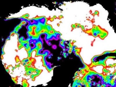
NAVO VIIRS L2P SST-1m v3.0
Mon, 04/09/2018
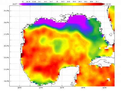
Sensing Sea Surface Salinity
Mon, 03/12/2018
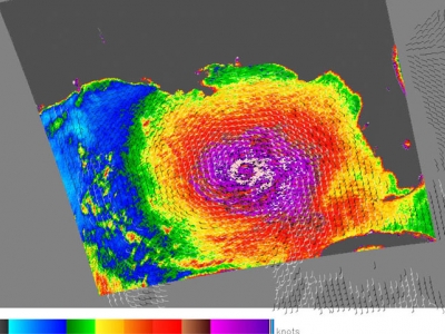
SST After Hurricane Harvey
Mon, 10/16/2017
SMAP and Sensing Sea Surface Salinity (SSS)
Mon, 07/10/2017
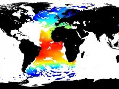
2015 Monthly average Sea Surface Temperature (SST) anomaly
Tue, 03/07/2017
Jason-3 begins mapping the ocean
Fri, 03/25/2016
Tehuantepecers and their associated Oceanic Biophysical Responses
Sat, 11/12/2011
1997-2009 El Nino: Sea Surface Temperature and Sea Surface Height Anomalies
Sat, 05/01/2010
SeaWinds on QuikSCAT
Sun, 08/28/2005
Pages
« first
‹ previous
1
2
3
next ›
last »
top
Back to top